
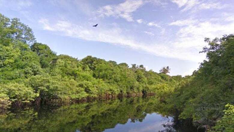
New Delhi: In the honour of World Forest Day, Google has released images of the Amazon Basin through the Street View feature on Google Maps, thereby by giving viewers a peek inside the Amazon rainforest that covers most of the Amazon Basin of South America.
The pictures were captured last August when Brazil and US Street View and Google Earth outreach teams were invited to the Amazon Basin to collect ground-level images of the rivers, forest and communities in the Rio Negro Reserve to give the world a virtual glimpse of one of the world's most famous rivers.
The interactive images released by the company let you take a virtual boat ride down the main section of the Rio Negro and float up into the smaller tributaries where the forest is flooded.
It also mapped the paths of Tumbira, the largest community in the Reserve, along with some of the Amazon forest trails.
"This project was made possible in partnership with the Amazonas Sustainable Foundation (FAS), the local nonprofit conservation organization that invited us to the area. We used the Street View trike and a tripod camera with a fisheye lens—typically used to capture imagery of business interiors—to capture both the natural landscape and the local communities. In all, more than 50,000 still photos were stitched together to create these immersive, 360-degree panoramic views," said Google in a blog post.
####


Comments
0 comment